
Course Overview
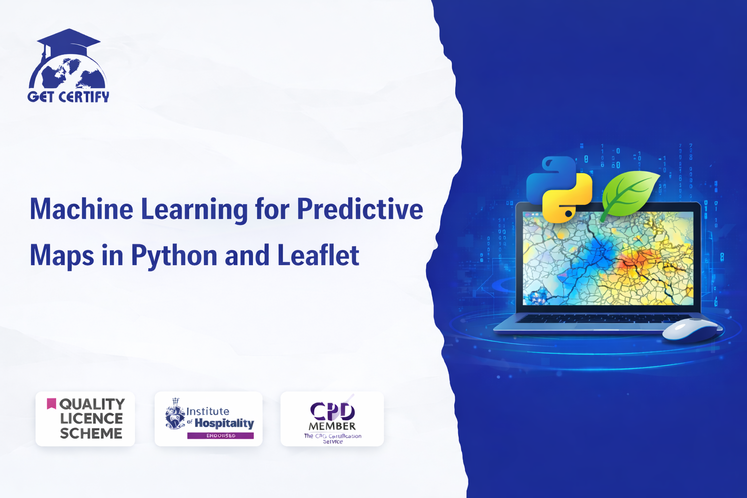
The Machine Learning for Predictive Maps in Python and Leaflet course is designed to provide learners with comprehensive knowledge and practical insight into combining machine learning techniques with geographic data visualization. This course explores how predictive modelling and spatial analysis can be used to generate interactive and data-driven maps using Python and the Leaflet mapping library.
With the growing importance of location-based analytics across industries such as urban planning, environmental monitoring, logistics, and data science, predictive mapping has become a powerful tool for decision-making. This course equips learners with the expertise required to analyse geographic datasets, apply machine learning algorithms, and visualise spatial predictions through dynamic web-based maps.
The course materials are delivered online, allowing learners to study at their own pace while gaining hands-on experience in machine learning workflows, geographic data processing, and interactive map development.
By completing this course, learners will gain:
A Strong Foundation in Machine Learning for Spatial Analysis: An in-depth understanding of machine learning algorithms used for geographic prediction and spatial data modelling.
Python-Based Predictive Mapping Skills: Practical knowledge of processing geographic datasets and implementing predictive models using Python.
Interactive Map Visualisation: The ability to create dynamic and interactive maps using the Leaflet library for web-based spatial visualisation.
Geospatial Data Processing Techniques: Skills to prepare geographic datasets, perform feature engineering, and apply machine learning models for spatial predictions.
Real-World Data Applications: Knowledge required to develop predictive mapping solutions for industries such as urban planning, environmental analysis, and logistics.
This course aims to equip learners with the knowledge and competence to:
This course is suitable for:
Successful learners may progress into roles such as:
This CPD-accredited course is delivered fully online through interactive modules with professional voiceover. Learners benefit from self-paced study accessible via laptop, tablet, or smartphone, along with 24/7 learning assistance.
Assessment methods may include:
This course is CPD accredited and designed to reflect current industry standards in machine learning, geospatial data analysis, and predictive mapping technologies.
Upon successful completion, learners will receive an instant digital certificate. A printed hard copy certificate can also be delivered by post (shipping cost £3.99).
Certificates demonstrate up-to-date professional knowledge and practical competence in machine learning for geospatial data and predictive mapping. While certificates do not expire, learners are encouraged to update their training regularly to stay aligned with evolving data science and geospatial technologies.
No reviews yet. Be the first to review this course!
£125.00


Easy to follow and relevant information. Option to re-do quizzes was great too.
4 months agoGot way more than I expected with this course. Extremely detailed. You're able to engage in the modules as much or as little as your time availability. I highly recommend.
4 months agoThe course was very in-depth, informative and covered quite a wide variety of subjects.
4 months ago